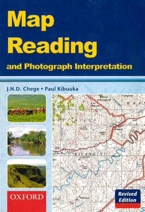
Map Reading and Photograph Interpretation (Oxford)

Description
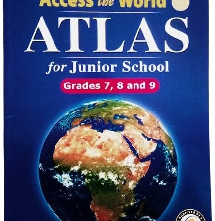
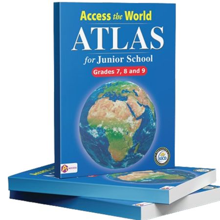
Map Reading and Photograph Interpretation is a practical Geography reference book designed to support junior school learners (Grades 7–9) in mastering essential map and photograph interpretation skills. Written in clear, simple language, the book makes complex geographical concepts easy to understand and apply. The revised edition integrates both traditional mapwork and modern examination‑style tasks, helping learners build confidence and competence.
This edition contains 16 full‑colour maps that illustrate key spatial features and geographical patterns, along with 22 photographs (including six in full colour) reflecting real‑world contexts. Numerous exam‑style questions and practical activities reinforce learning and help learners apply theory to real examples. The book also includes diagrams and sketches that visually augment key concepts, making it ideal for classroom reference and independent study at home.
Key Facts & Features:
• 16 full‑colour maps highlighting physical, political, and thematic features.
• 22 high-quality photographs to develop real-world interpretation skills.
• Exam-style questions and practical activities for mastery and practice.
• Diagrams, sketches, and step-by-step instructions for map measurement and scale calculations.
• Clear explanations of contours, symbols, grids, and aerial photography to enhance analytical skills.
Build strong map interpretation and photograph analysis skills — purchase Map Reading and Photograph Interpretation from Riki Bookshop today.
ISBN: 9780195734744